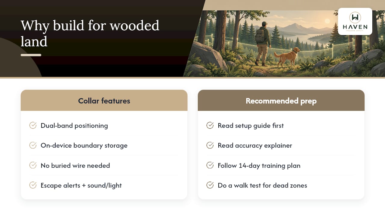
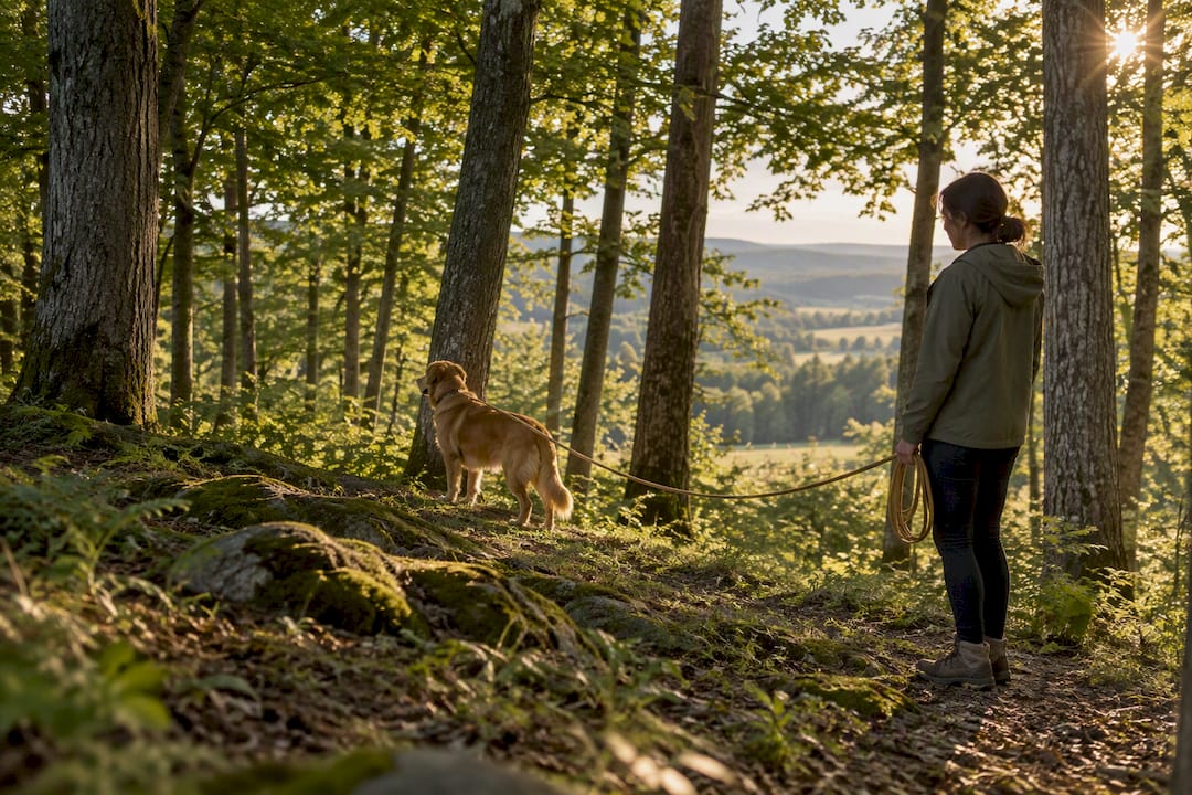
Assess tree cover, test boundary consistency and consider additional containment on wooded properties.
Topics covered in the reference guide
- How tree canopy degrades GPS and GNSS signals
- What the research and field data say about wooded reliability
- Setting up and training a boundary on wooded, rural land
- Layering containment so GPS alone isn’t the only safeguard
- Keeping training humane while using a virtual boundary
- Why we build for wooded and rural properties first
- Getting NAXWAVE set up on your own property
- Sources